LIVE · GPS-GRADE MEASUREMENT
Measure any field.
Anywhere on Earth.
A tactical GIS console for surveyors, civil engineers, farmers, and land developers. Walk the boundary or plot on satellite maps — get instant area, perimeter, and engineering-grade reports.
12+
AREA UNITS
±3m
GPS ACCURACY
∞
PROJECTS
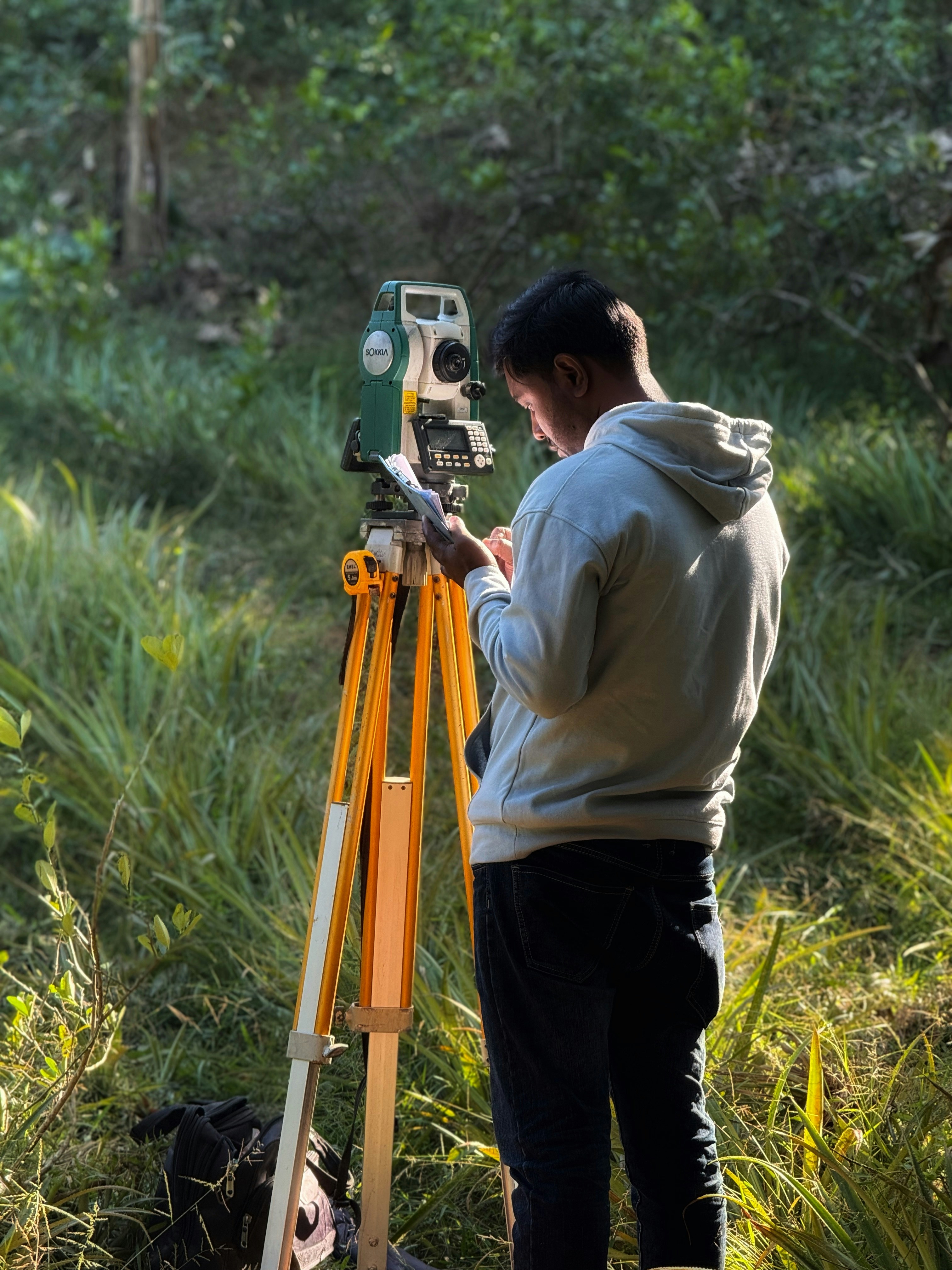
FIELD SESSION 001
28.6139° N · 77.2090° E
AREA
2.47 ha
STATUS
● TRACKING
CAPABILITIES · 01
Built for the field. Trusted in the office.
Every tool a surveyor needs. Zero fluff. Enterprise-grade precision, packaged as an offline-first PWA that works on any device.
Map Plotting
Tap, drag, and edit polygon vertices on satellite, terrain, and street tiles.
GPS Walk Mode
Trace boundaries in real time. Pause, resume, and auto-close polygons.
12+ Unit System
Acres, hectares, bigha, katha, guntha, cent, kanal, marla — instantly.
AI Survey Assistant
Powered by Claude Sonnet 4.6 — explain formulas, methods, and corrections.
Digital Compass
Bearing, heading, elevation, latitude, longitude, accuracy readouts.
Private & Offline
Your polygons never leave your account. Guest mode leaves no trace.
REPORTING · 02
PDF reports that clients sign.
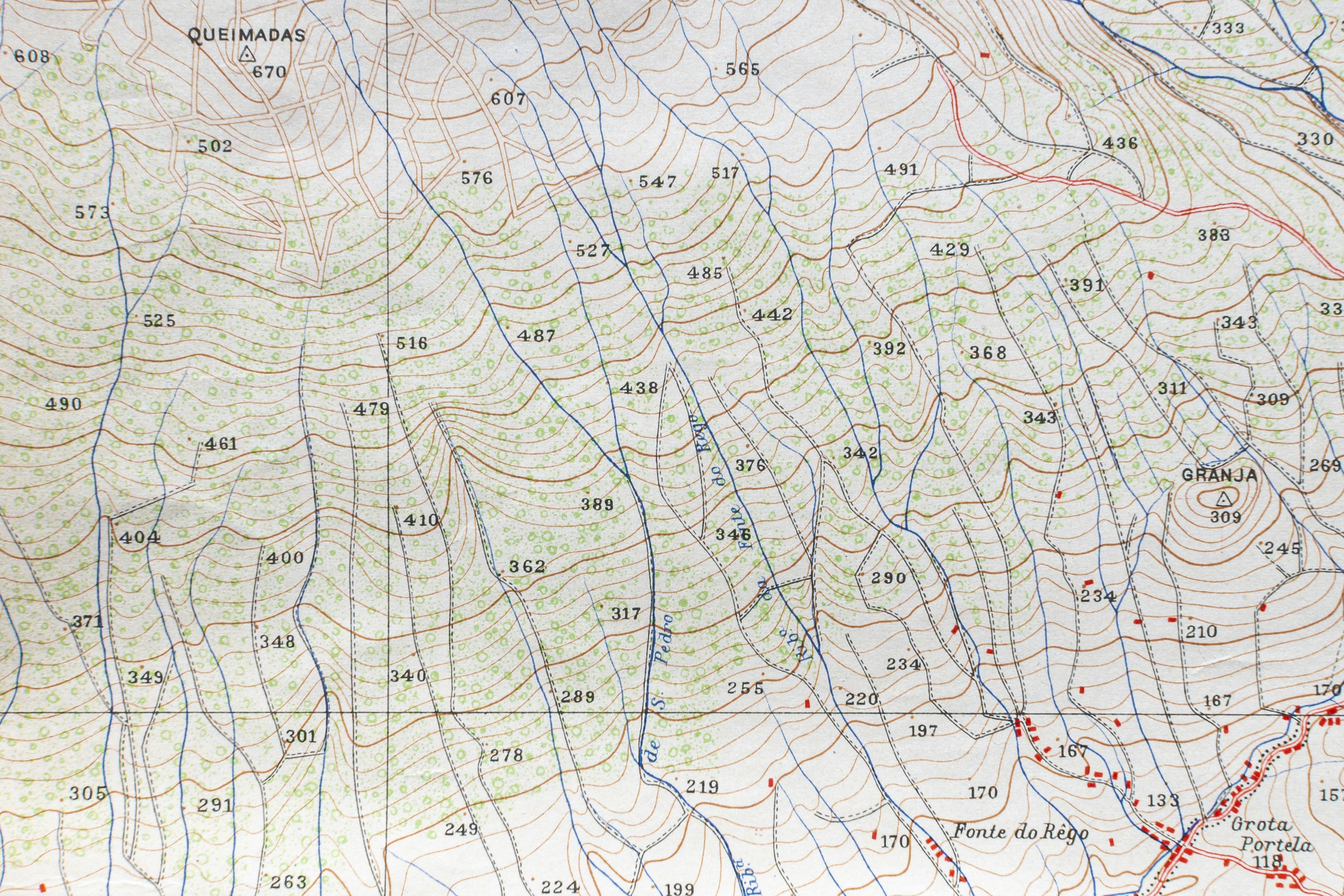
Generate professional PDFs including project details, surveyor info, coordinates, area, perimeter, and a rendered map snapshot. Ready to attach, print, or archive.
- ›Project + client + surveyor metadata
- ›Coordinate table with WGS84 precision
- ›Area in 12+ units + perimeter
- ›Map snapshot with polygon overlay

GET STARTED
Your first field. In under 60 seconds.
Free forever for individual surveyors. No credit card. No lock-in. Bring your own maps.